Loading image
Manhattan
East Village
Official NTA code: MN0303
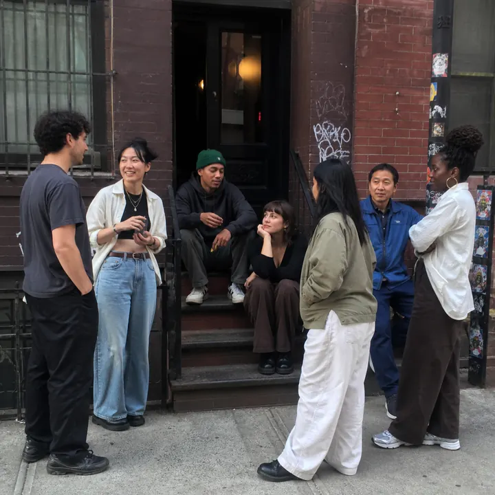
Generate an amateur photograph of seven people who live in contemporary East Village, doing what they do in contemporary East Village, Manhattan, NYC.
August 12, 2026
I asked ChatGPT to picture seven people from each of New York City's 262 official neighborhood areas, then put the answers on a map.
The city is divided into all 262 of New York City Planning's 2020 Neighborhood Tabulation Areas. Together they cover all five boroughs without overlap. Each polygon has its own independently generated image.
For each area, ChatGPT received the same core prompt:
Generate an amateur photograph of seven people who live in contemporary [neighborhood], doing what they do in contemporary [neighborhood], [borough], NYC.
The people are synthetic. The pictures show the model's associations, including its shortcuts and stereotypes. They are not claims about who actually lives in a neighborhood. The boundaries are official statistical areas, not definitive neighborhood borders.
Manhattan
Official NTA code: MN0303
Generate an amateur photograph of seven people who live in contemporary East Village, doing what they do in contemporary East Village, Manhattan, NYC.